In Flux in Oyster, Virginia (#109)

On the southern tip of Delmarva, life is
different. It has none of the congestion
of Tidewater. Life is more natural. There’s room to breathe, beautiful views, and
quiet peacefulness around every bend.
A few miles up from the tip is the tiny village
of Oyster. Yup, as you’d expect, this
town is all about oysters. A century
ago, many of its structures were in different locations – out on the barrier
islands fronting Virginia’s coast. But
as those islands shifted and became more vulnerable to storms and rising seas,
their buildings were moved to the mainland at Oyster. Now though, the village is under threat
again, and planning is in place to move to higher ground a second time.
In 1933, a major hurricane blew through
dramatically shifting the water flows and channels upon which the oystering
community relied. For the next twenty
years, the Army Corps of Engineers regularly dredged the channels. The tailings were deposited into a
horse-head-shaped island poking out into Mockhorn Bay.
In 2020, The Nature Conservancy (TNC) and
the Eastern Shore Community Foundation established the Oyster Village Horse
Island Trail which affords public access to TNC’s shoreline property and leads
to scenic Horse Island Point. After a
nearly three hour drive this morning, stretching my legs on the 0.8-mile trail
is just what my body needs.
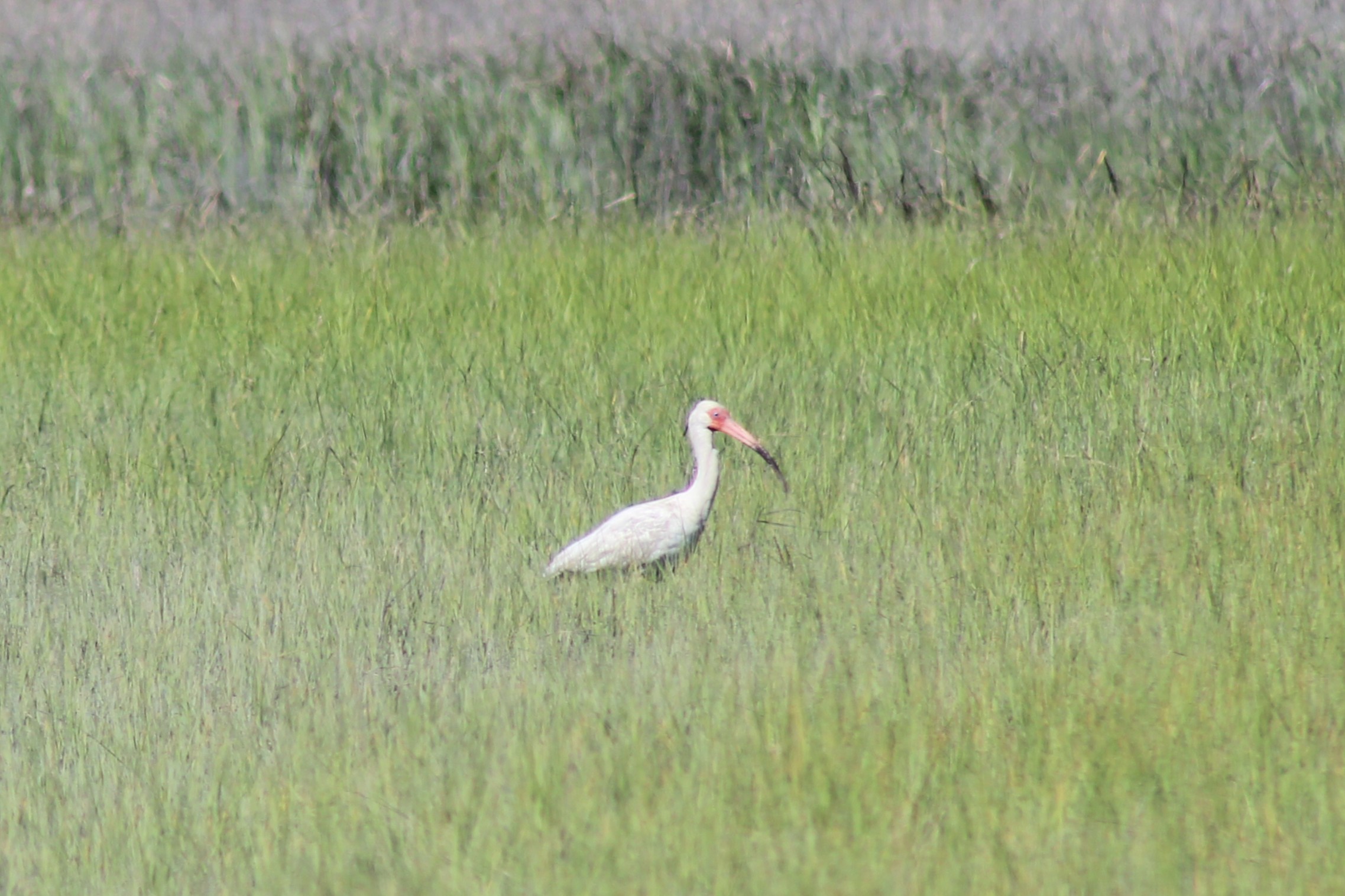
The trail—made of crushed oyster
shells—traces the water’s edge, which is alive with birds. Plovers, cormorants, woodpeckers, laughing
gulls, and white ibis. The view over
Mockhorn Bay is serene on this perfect weather day. At the scenic point, a few posts with camera
holds from Chronolog are set encouraging visitors (aka citizen scientists) to
take photos and add them to a visual database which monitors changes over
time. And this part of Virginia is
changing fast, as coasts do, but perhaps a little faster here than other states. The Chronolog data will perhaps serve as the
canary in the coalmine for when the structures in Oyster need to uproot
again.
This short stroll down an oystery lane is
more than just a stretch break, it’s a moment to witness a place in flux,
before heading out later today to help protect what might not be here in the
future.


Comments
Post a Comment
Please let me know what you think.